Drone Mine Monitoring & 3D Modeling
Survey the whole site. Automatically.
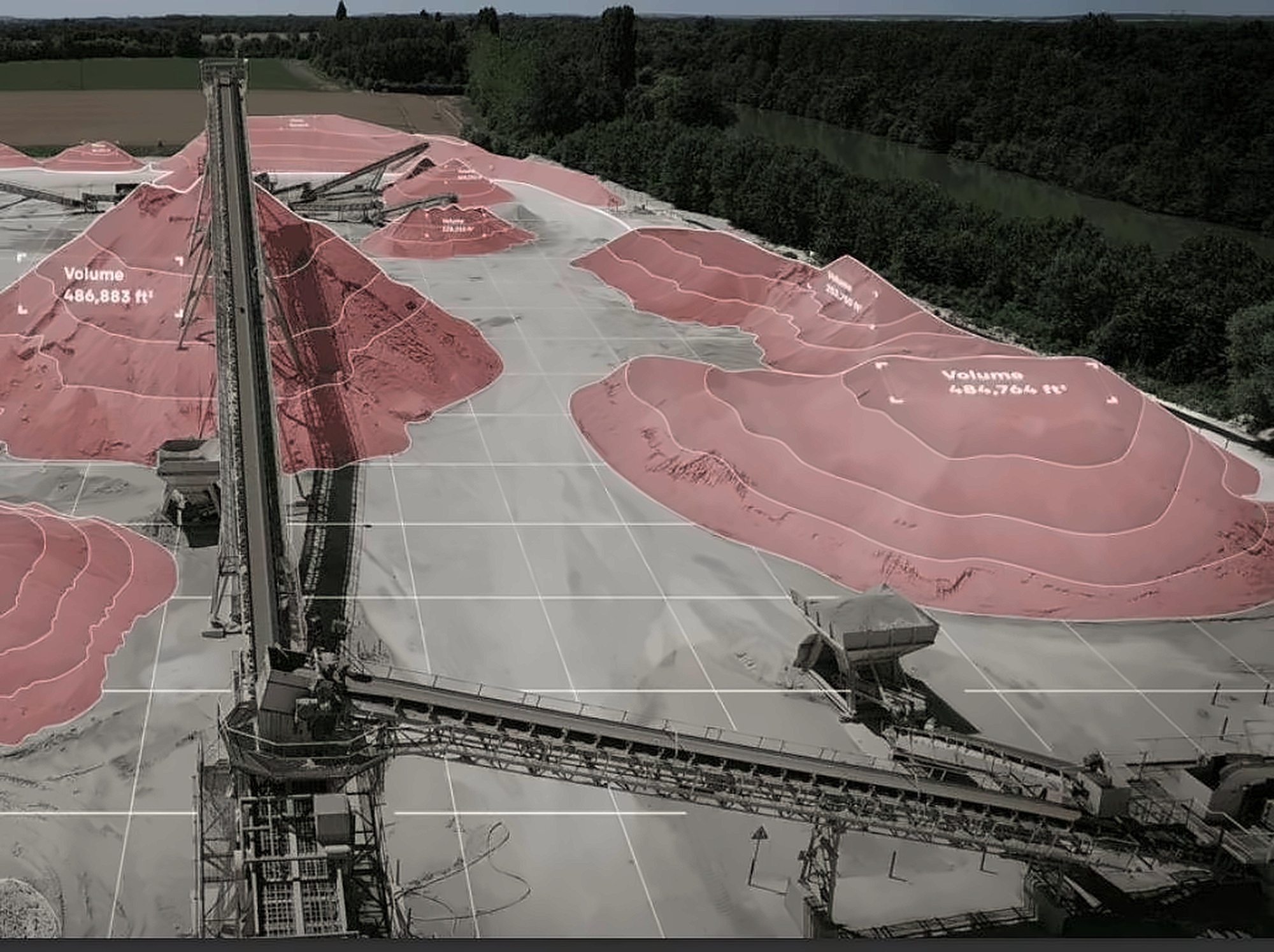
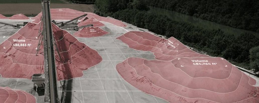
Periodic drone mapping with AI-powered identification, change detection, 3D volume measurement and mineral classification, plus 3D mine models for geometric analysis, slope-stability assessment and haul-road safety checks.
Site surveys were slow, and designs drift from reality.
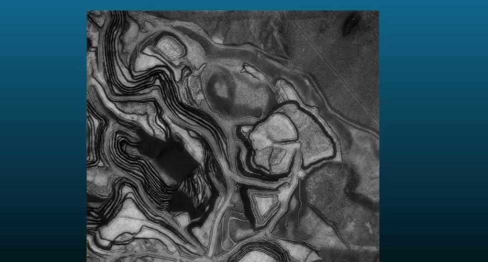
Manual surveying of stockpiles, pits and equipment takes days and quickly goes out of date. Benches, slopes and haul roads rarely match the original design for long, and without an up-to-date model, deviations and safety risks are discovered late.
Automated aerial intelligence and a living 3D model.
Drones fly scheduled missions over the site. Our pipeline builds accurate 3D models of the mine, measures volumes, detects changes between flights, identifies objects and classifies minerals. It also analyzes geometric and design parameters, assesses slope stability and evaluates haul-road safety, delivering ready-to-use reports.
Technical details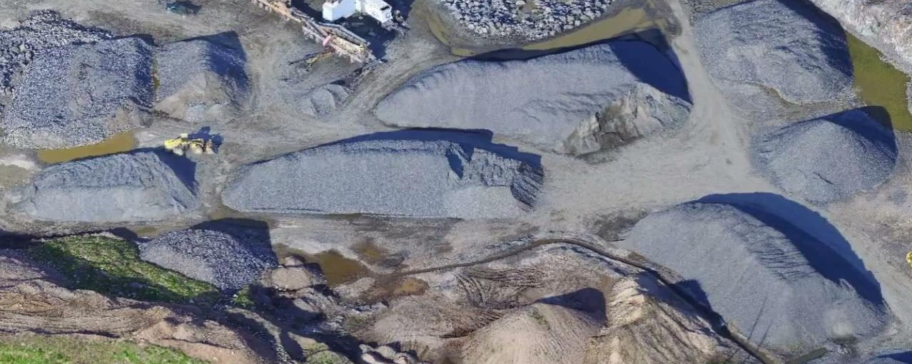
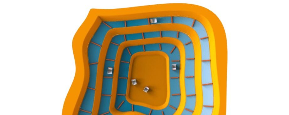
From flight to report.
A repeatable workflow built for regular monitoring.
Technical details.
- Scheduled drone missions
- Automatic periodic 3D models
- Change detection between flights
- Object identification
- Stockpile volume measurement
- Mineral classification
- Accurate, up-to-date terrain model
- Geometric and design-parameter checks
- Slope-stability assessment
- Haul-road safety evaluation
- Maps and recommendations
Results.
Verified results will be added here.
The people behind it.
A multidisciplinary team of engineers, researchers and domain experts.



More from this project.
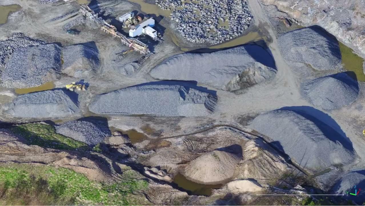
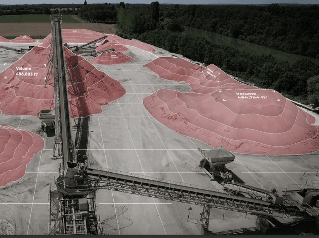
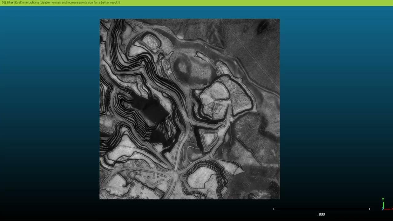
Visuals of the system and its components.
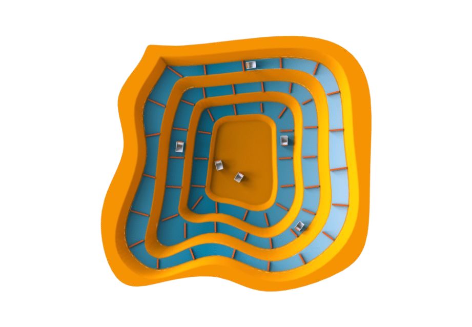
Scaling for broader impact.
We are extending temporal monitoring of equipment and environment across multiple sites.
Discuss a similar project ZLAB
Part of the FANAP ecosystem
FANAP Advanced Technologies Laboratory