Environmental Remote Sensing Suite
Watching the land, water and air — from space.
Satellite-based services for land subsidence, water resources, flood risk and air-quality monitoring.
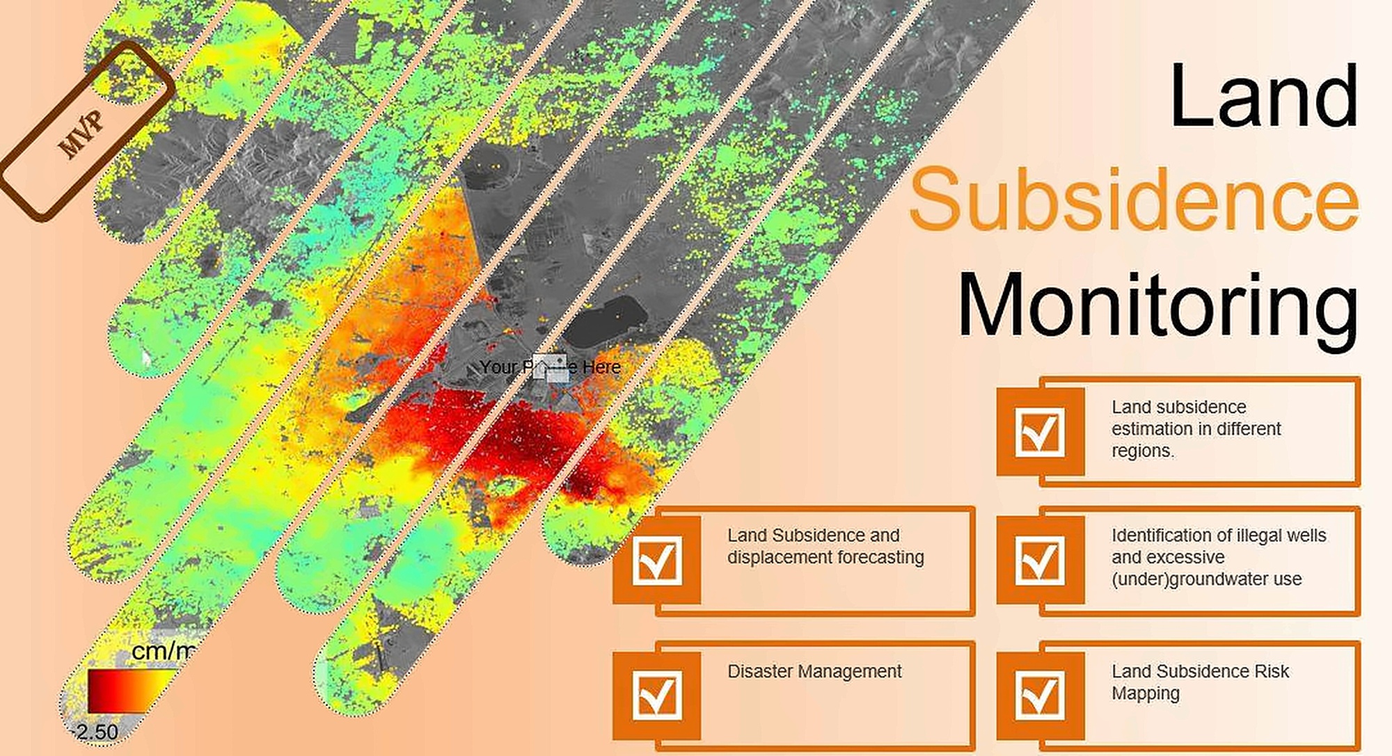
Environmental risks build up unseen.
Subsidence, shrinking water bodies, floods and air pollution unfold over large areas and long periods, far beyond what field measurements can cover.
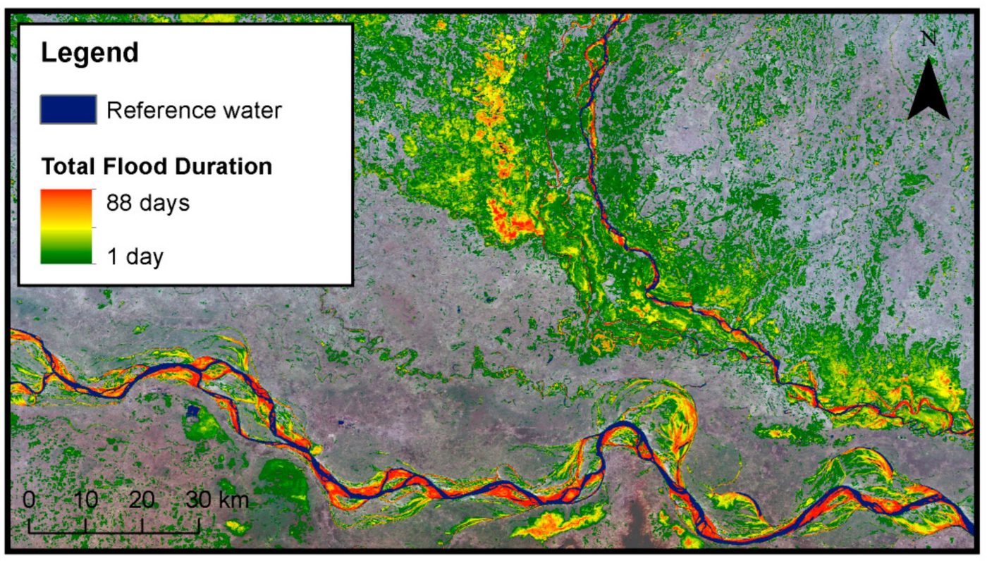
Four services, one remote-sensing core.
We turn satellite data into actionable maps and warnings: subsidence estimation and forecasting, surface-water and water-quality analysis, flood risk mapping and air-quality parameter retrieval.
Technical details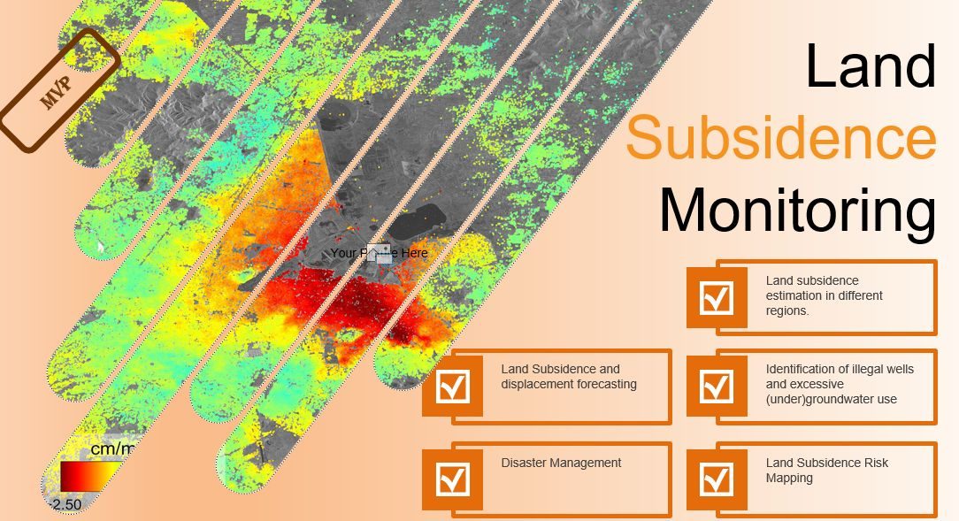
From satellite to decision.
Scalable processing from local to national level.
Four services in detail.
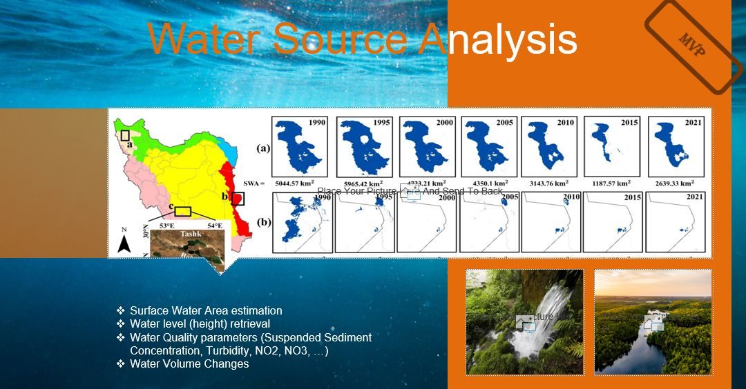
- Surface water area estimation
- Water level (height) retrieval
- Water-quality parameters: suspended sediment concentration, turbidity, NO₂, NO₃
- Water volume changes
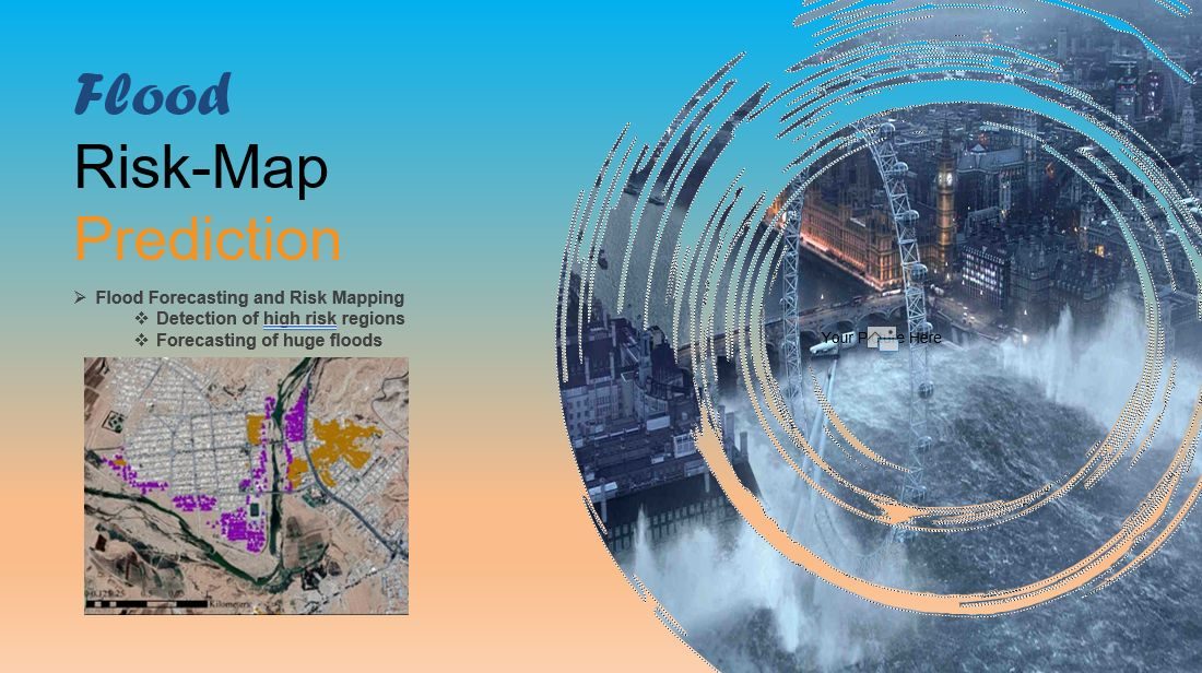
- Flood forecasting and risk mapping
- Detection of high-risk regions
- Forecasting of large floods
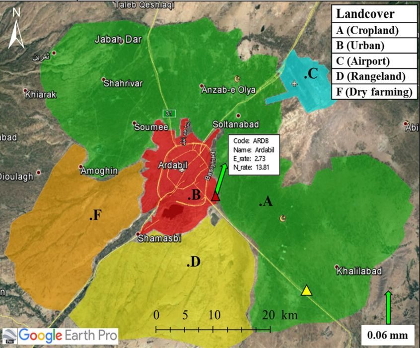
- Land subsidence estimation in different regions
- Subsidence and displacement forecasting
- Identification of illegal wells and excessive (under)groundwater use
- Disaster management
- Land subsidence risk mapping
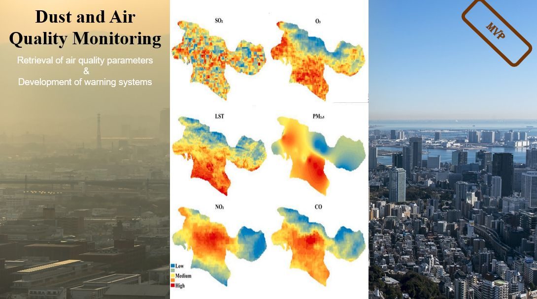
- Retrieval of air-quality parameters (SO₂, O₃, PM2.5, NO₂, CO, LST)
- Development of warning systems
Services.
The people behind it.
A multidisciplinary team of engineers, researchers and domain experts.




More from this project.
Visuals of the system and its components.
Scaling for broader impact.
We are integrating the services into a single environmental monitoring platform.
Discuss a similar project ZLAB
Part of the FANAP ecosystem
FANAP Advanced Technologies Laboratory