Planting View – Agri-Environmental Intelligence
Every field, mapped and understood.
High-resolution satellite analytics at field level, with automated farm boundary delineation and change detection.
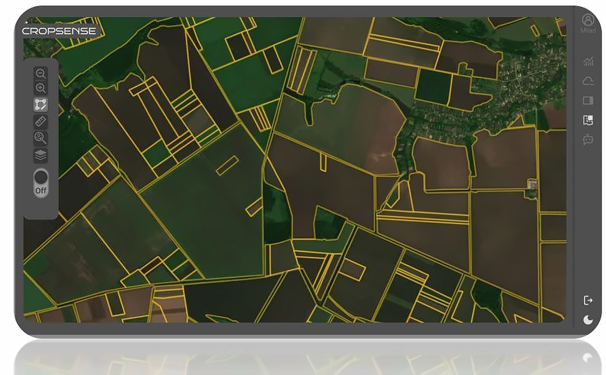
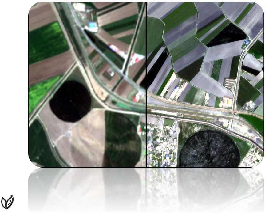
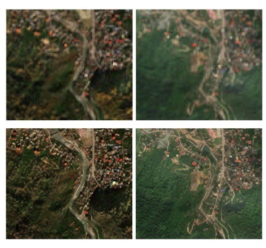
Pixels don't tell you about farms.
Pixel-based analysis blurs field edges and mixes crops, making farm-level statistics and agricultural cadastre work inaccurate.
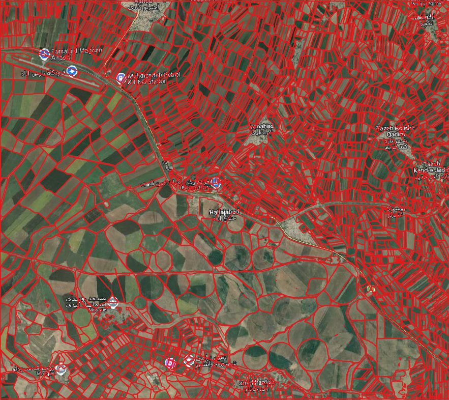
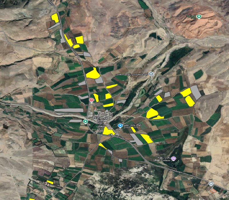
Object-based analysis at field level.
Planting View automatically delineates agricultural fields, builds a farm database at county, state or country scale and runs object-based analysis for more accurate statistics, cadastre services and change detection.
Technical details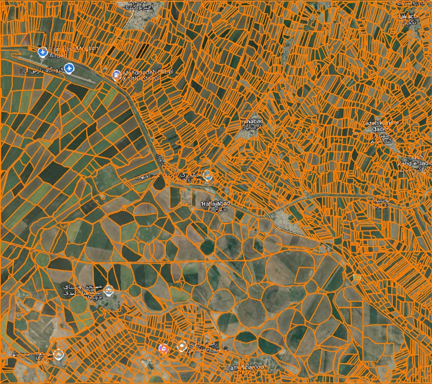
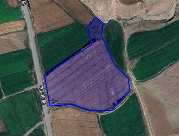
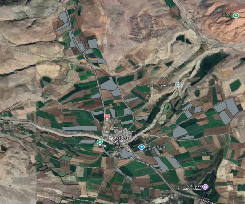
From satellite image to farm database.
Designed for national-scale processing.
What Planting View delivers.
- Enhanced analysis at agricultural land and field level
- Transition from pixel-based to object-based processing for improved accuracy
- Support for agricultural cadastre services
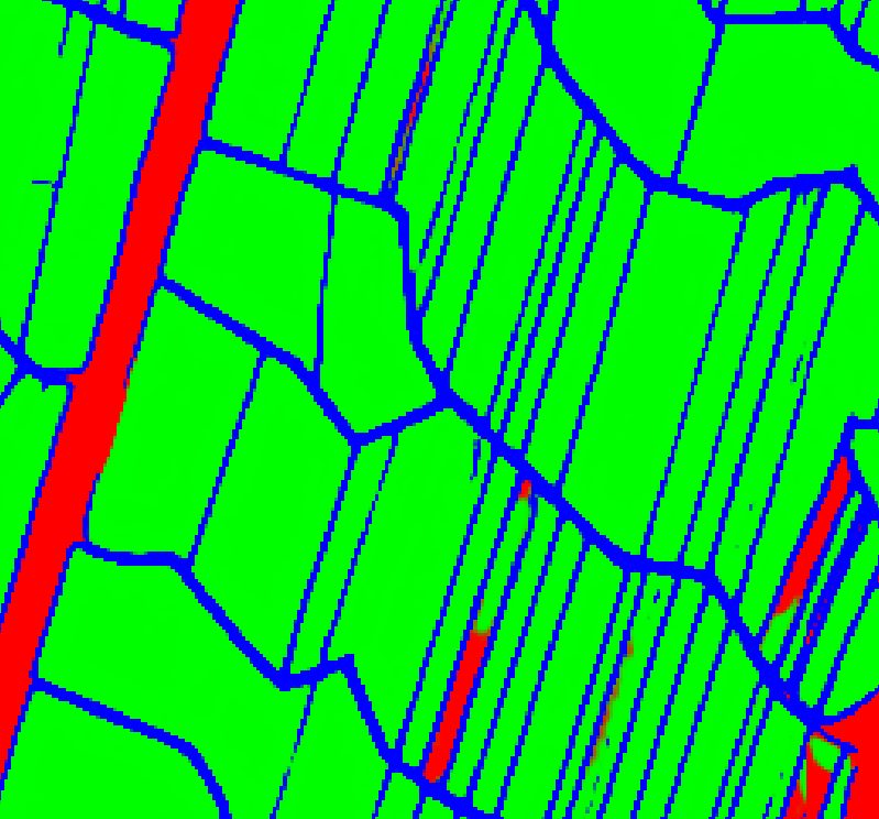
- Outlines every field automatically from satellite images, even when neighbouring fields look alike
- Keeps touching fields apart, so each one gets its own clean shape
- Builds a farm database at county, state or country level
- Maps Iran's farmland as irrigated or rainfed at 10 m detail
- Combines Sentinel and Landsat imagery with climate data, so past years can be mapped too
- Adapts to local crops from only a small number of labelled fields
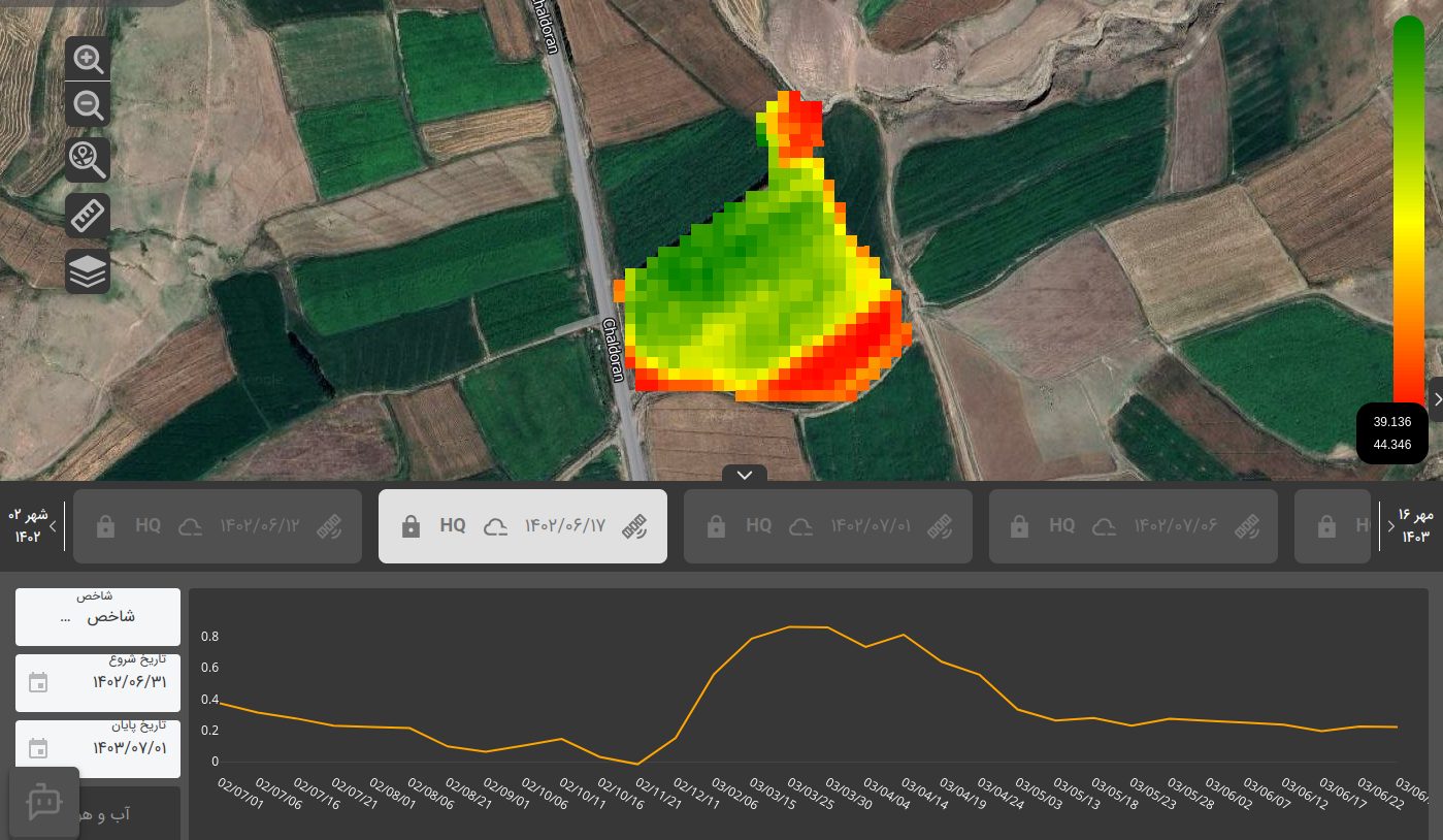
- Follows each field's growth stage, planting date and growth delay
- Flags weeds, water stress and nutrient shortage on the map
- Irrigation advice with a 14-day forecast
- Tracks land use, vegetation, urban growth and infrastructure over time
- Follows changes across the years, such as irrigated wheat area per province
- Helps plan seasons and suggest crops that suit local water, climate and soil
Results.
The people behind it.
A multidisciplinary team of engineers, researchers and domain experts.

More from this project.
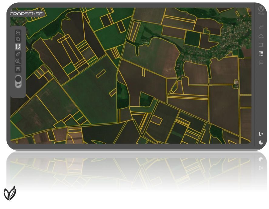
Visuals of the system and its components.
Scaling for broader impact.
We are extending field-level analytics to crop-type mapping and yield-related indicators.
Discuss a similar project ZLAB
Part of the FANAP ecosystem
FANAP Advanced Technologies Laboratory